For some years rumours have been floating across the Dakar bivouacs that some of the better-funded teams were, in the dark nights, overlaying the Dakar route instructions – otherwise known as roadbooks – on high-definition images of Google Earth. And, in doing so, were in a position to provide their riders with advice on how to follow a smoother, less technical and shorter route between mandatory waypoints. This, it’s been alleged, might benefit a rider by as much as a minute – or more – over the course of a day. Or save 250mL of fuel. Or simply offer some welcome respite from the inevitable arm pump. These alleged tactics were made possible by the roadbooks being issued to competitors the day prior to racing. Traditionally this allowed riders to colour their maps to assist in navigation. Ostensibly a safety issue. Yet the opportunity for mysterious ‘map men’ to add information proved irresistible.
Rumours of the ‘map men’ persisted, causing the event’s to issue an instruction that while the roadbooks could be coloured by riders “any additional notes would subject the rider to penalties.” And if nothing else, this regulation appeared to substantiate that something was untoward.
Then, in Peru, Honda rider Kevin Benavides was penalised for carrying additional course notes on his fuel tank and sleeve. HRC appealed the ruling arguing that, as ridiculous as it sounds, that neither fuel tanks or sleeves were specified in the additional Supplementary Regulations, and the appeal was upheld.
Coloured Roadbooks trialled
Which brings us to the Rally Du Maroc, the last FIM Cross-Country Rally before the 2020 Dakar; which will be held for the first time in Saudi Arabia, the same location Dakar is headed.
In Morocco the ASO sprung a double-barrelled surprise. No rider was told where the day’s start line would be until they departed the bivouac, and only at that time instructions were loaded into their GPS units – the same system the average smartphone uses to navigate to an unknown address. Thus competitors arrived at the start line with only the GPS coordinates to identify their location.
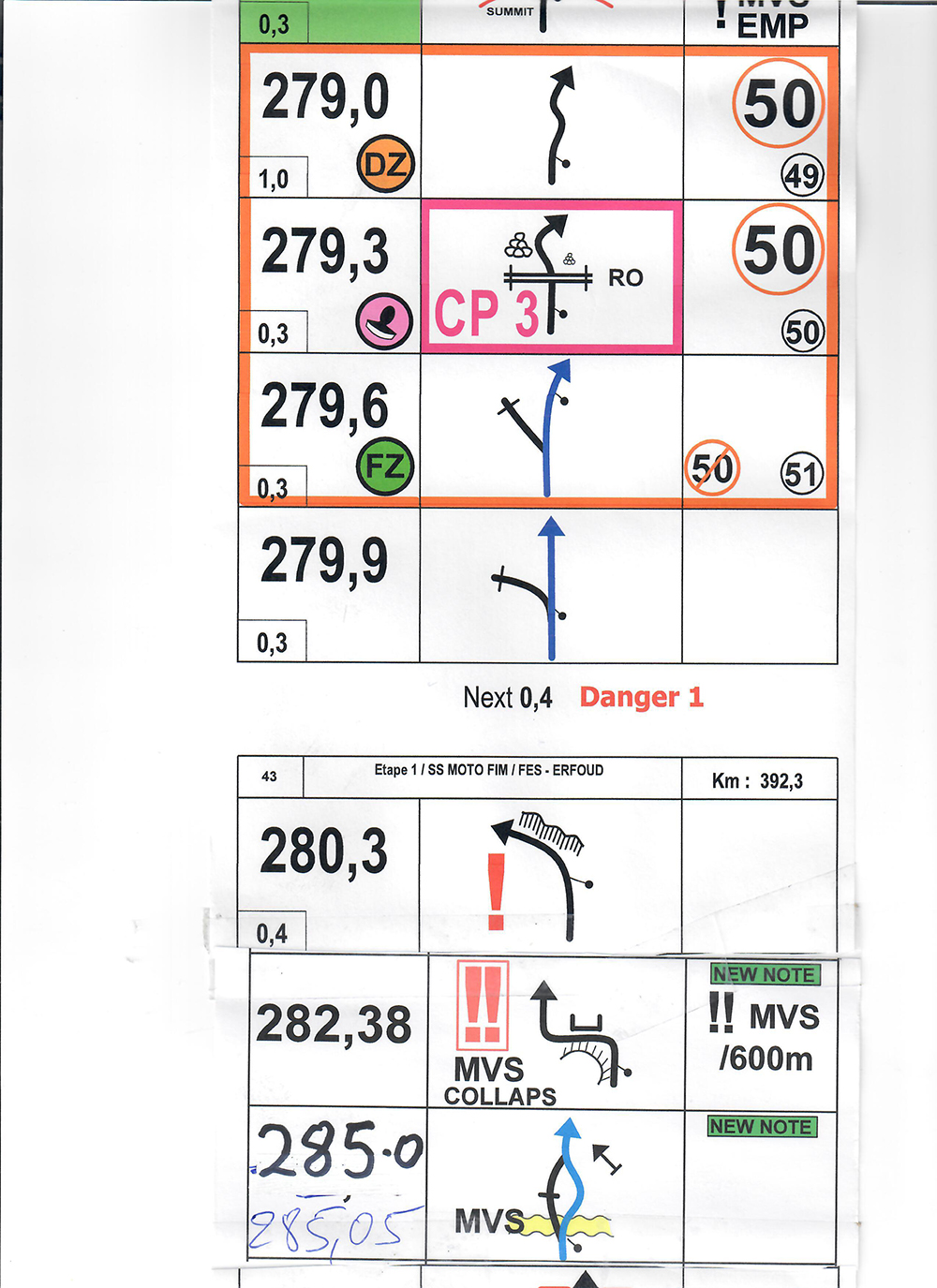
And it was only at the actual start line that competitors were then given the day’s roadbooks with barely 15 minutes to load them into their map holders. And, to deflect any complaints about safety issues the route instructions were printed in colour (see example).
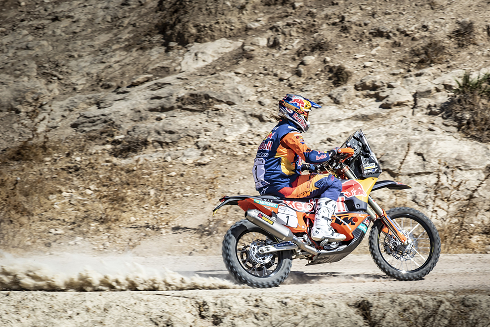
This new system will not render the route instructions any more accurate (or easy to interpret) as at least 48 hours pass between the final reconnaissance and the first competitor, but it’s always been the case that a small landslip or drifting dune can cause unforeseen problems. Though, as for the ‘map men’, they’re out of business. While it’s extremely doubtful they ever had any effect on the outcome of past events, Australia’s regular cross-country competitor Ben Young tells us he has little doubt there were some teams gaming the system.
What about Dakar?
For Dakar 2020, the new system will be in place for four days out of the 12 stages and Ben, for one, is delighted.
“It will save me at least two hours at night having to prepare roadbooks. They must print the maps the night before because all the last-minute changes are included. It saves hours of cutting and pasting. That’s an extra two hours of sleep! Or maybe just a couple of quiet beers with Duust team manager Filip Dabrowski. I’m disappointed they’re not doing it every day at Dakar.”